Construction site
Especially in inner-city projects, it is desirable to digitize the construction site.
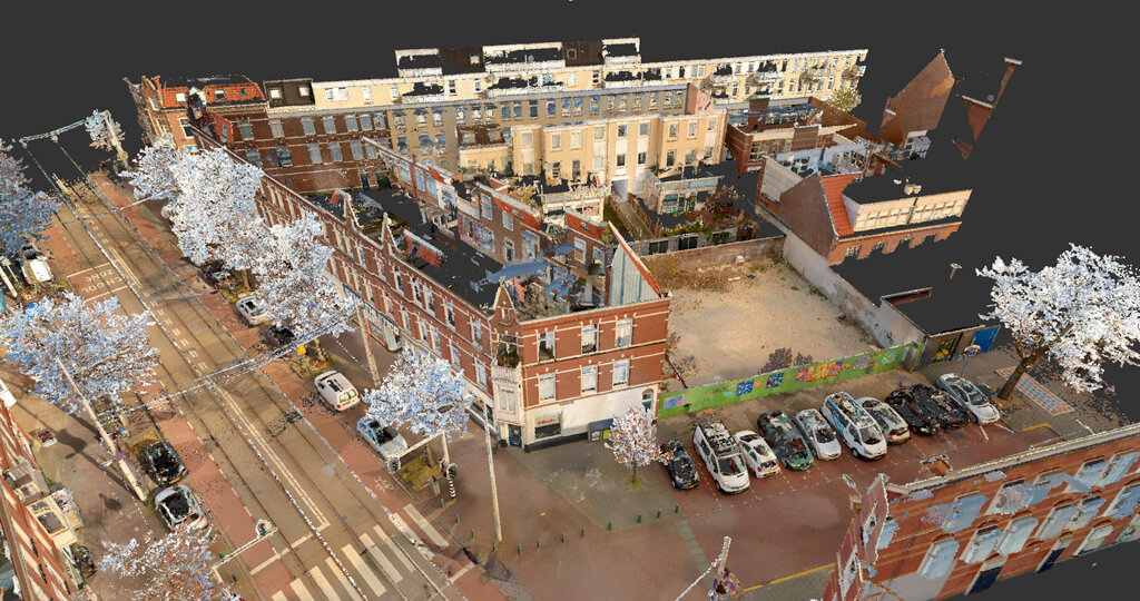
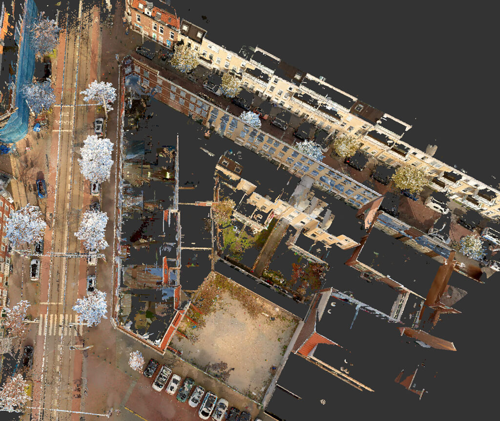
Because there is little space to place all the facilities, it is advantageous to have the exact situation mapped out. Think about the placement of management chains, toilets and warehouses. It is also useful to know how the access roads run. And where the trees are, for example?
The answers to all these questions become clear with a 3D measurement. If desired, the pointcloud can be supplied in RD-NAP coordinates, which can then be linked to the situation drawings from the land registry. This means that the buildable area is clearly mapped out, and can already offer advantages in the architect's voiding process because it is now clear exactly how large the plot is.